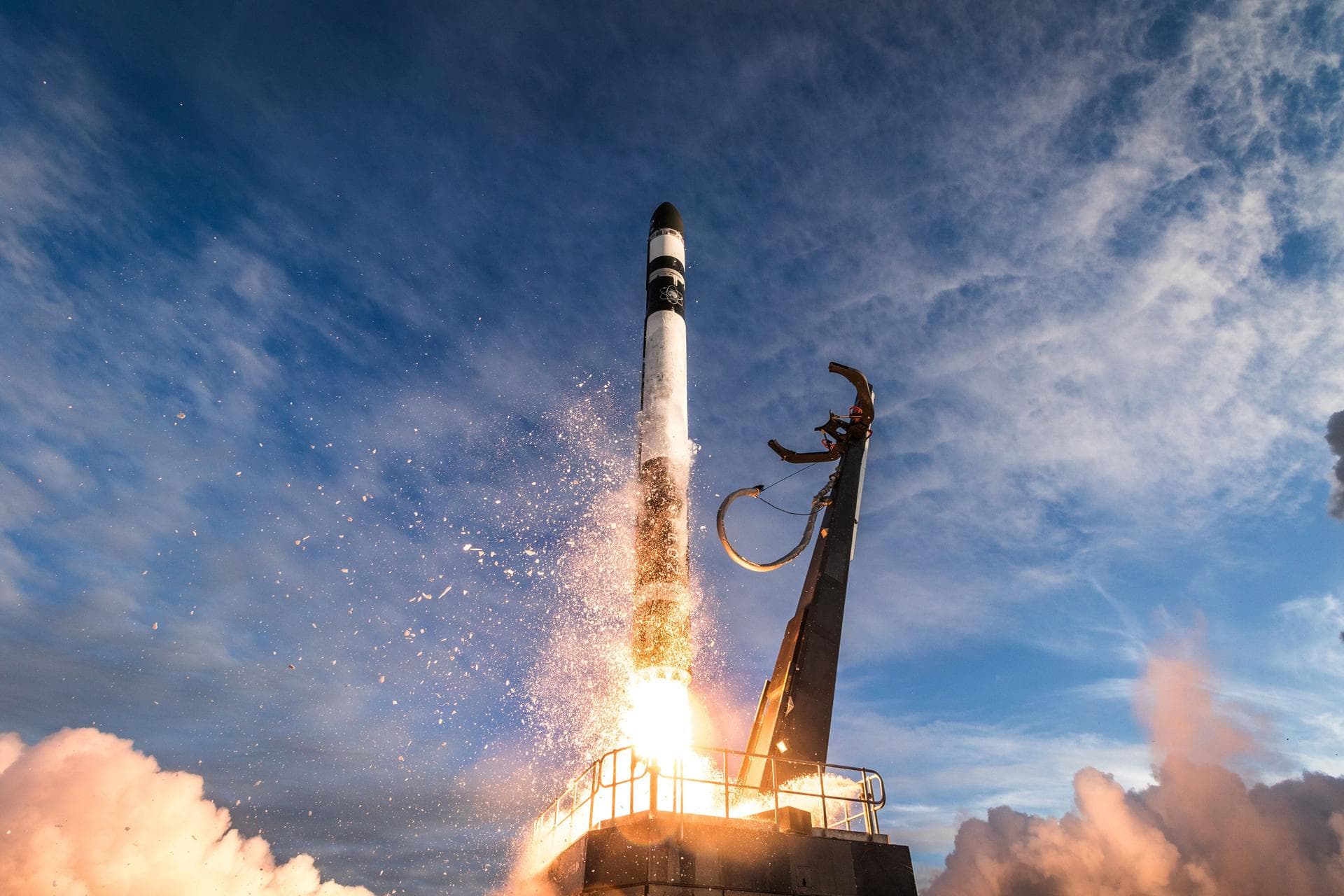
Electron | NorthStar 3
Four space situational awareness (SSA) satellites for Canadian company NorthStar Earth and Space.

Four space situational awareness (SSA) satellites for Canadian company NorthStar Earth and Space.

Amazon Leo, formerly known as Project Kuiper, is a mega constellation of satellites in Low Earth Orbit designed to offer broadband internet access managed by Kuiper Systems LLC, a subsidiary of Amazon. This constellation is planned to be composed of 3,276 satellites. The satellites are projected to be placed in 98 orbital planes in three orbital layers, one at 590 km, 610 km and 630 km altitude.

Payload consists of two satellites for Europe's second generation Galileo navigation system.

Classified payload for the US National Reconnaissance Office

Classified US Space Force mission

Second Next-Generation Overhead Persistent Infrared GEO (NGG) satellite for the US Space Force. It is designed to deliver survivable, resilient missile warning, tracking, and defense.

Amazon Leo, formerly known as Project Kuiper, is a mega constellation of satellites in Low Earth Orbit designed to offer broadband internet access managed by Kuiper Systems LLC, a subsidiary of Amazon. This constellation is planned to be composed of 3,276 satellites. The satellites are projected to be placed in 98 orbital planes in three orbital layers, one at 590 km, 610 km and 630 km altitude.

Fourth Block IIIF GPS satellite

Second Block IIIF GPS satellite

Chang'e 8/CE-8 is scheduled to launch in 2028, including a lander, a rover and a legged robot. The mission will land in the South Pole regions of the Moon to study lunar surface environment around the South Pole and experimenting with resource utilization, including testing an enclosed terrestrial ecosystem in the lunar environment.

Synthetic aperture radar satellite for Japanese Earth imaging company Synspective.

The Surface Biology and Geology - Thermal Infrared (SBG-TIR) Earth Observation mission aims to provide radiometric and multispectral measurements of terrestrial and aquatic emissions for climate, ecological, and geological analyses, and to support practical applications such as food security and water management. The thermal infrared (TIR) radiometer is provided by NASA, while the VIS-NIR camera is provided by ASI. Their combination ensures high-quality observations, enabling the investigation of terrestrial and marine ecosystems, monitoring of water resources, and phenomena related to high temperatures such as wildfires and volcanic eruptions.